Project Centre design sustainable, resilient, and people-centred places that respond to the evolving social and environmental challenges of our built environments. Understanding the importance of balancing design quality, functionality, and sustainability within complex urban contexts, they approach every project with a focus on long-term impact and practical delivery.
Project Centre’s integrated portfolio spans urban design, landscape architecture, lighting, and drainage infrastructure, delivering schemes that combine technical excellence with innovative elements such as adaptive lighting, nature-based solutions, and inclusive placemaking. The result is designs that are tailored to communities and councils’ needs, easy to maintain, and aligned with carbon-reduction and future sustainability goals.
At PUBLIC REALM & URBAN SPACES Smart Class 2025, three Project Centre experts – Bharati Ghodke (Technical Director for Landscape Architecture and Urban Design), David Chapman (Associate Director – Flood and Water Management) and Herbie Barnieh (Associate Director for Lighting and Technology) – teamed up to share best practice from recognised schemes across the UK, demonstrating how evidence-based design and integrated, innovative solutions can reduce energy use, enhance biodiversity, and create vibrant, attractive spaces that work for both the people and the environment.
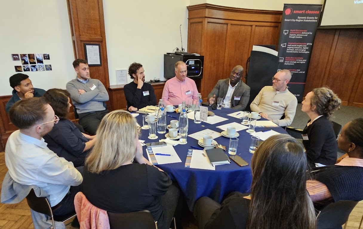
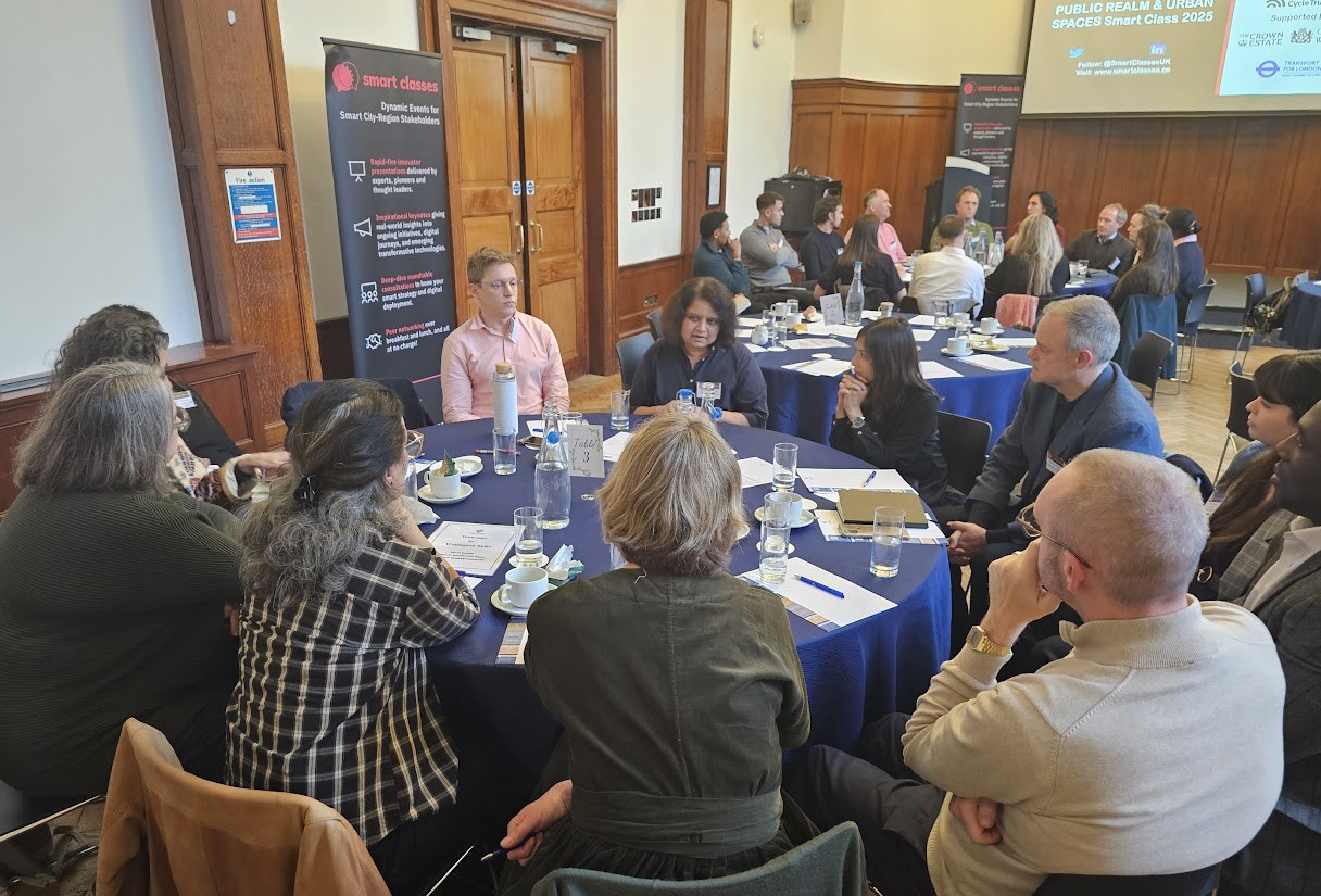
After their inspiring presentation and Q&A, Bharati, David and Herbie went on to host in-depth roundtable sessions with all delegates.
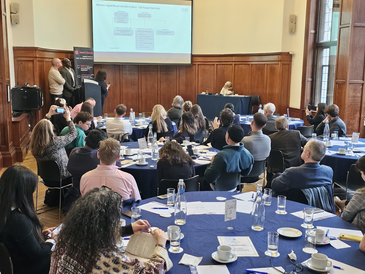
Presentation highlights and notes:
- Our Approach – Inclusive and engaging placemaking that transforms spaces into vibrant community hubs; Sustainable drainage and nature-based solutions that enhance biodiversity and build climate resilience; Streets and adaptive lighting solutions designed for safety, energy efficiency, and carbon reduction;
- Whitechapel Road Transformation- LB Tower Hamlets Case Study…
- LBTH Local Plan – Whitechapel will be a Vibrant Town: Core growth area with medium demand for employment floorspace (City Fringe Opportunity Area Planning Framework); Town Centre (City Fringe OAPF, Local Plan); Transport Hub – Crossrail + LUL + Overground + Key Bus Routes + Cycle Superway; New Town Hall; ‘Med City’; Historic Market;
- Whitechapel Road is a Key Gateway into the Transforming Town Centre – Mapped: Town Centre (OAPF, Local Plan); Whitechapel South Site Allocation (Local Plan); Crossrail Works; Med City (OAPF); Green Grid; Public Square; Open Space; Visual Link; Whitechapel Road Public Realm Improvements Focus Area;
- Mapped: Tower Hamlets Plan 2031 Managing Growth and Sharing Benefits – City Fringe sub-area; Mapped: Whitechapel scheme area within LBTH City Fringe sub-area;
- Mapped: Site Boundary; New Developments; Conservation Areas – Whitechapel Market, Royal London Hospital, Stepney Green; Heritage Assets – Listed Buildings, Edward V11 Memorial, K2 Telephone Box, WW1 & WW2 Staff Memorial;
- Delivery Team: Stakeholders – Tower Hamlets Council, Transport for London, Local Businesses, Market Traders, Residents, Local Employees; Client Team – Tower Hamlets Council, Transport for London; Market Stalls Design Team – Greig and Stephenson Architects, Contraworx (Fabricators); Public Realm Design Team – Project Centre Limited’s Urban Design, Landscape Architecture, Engagement & Consultation, Highways, Flood & Water Management, Lighting, Quantity Surveyors; Contractor – LBTH Term Contractor JB Riney;
- Focus on Spatial Arrangement – Clear definition and hierarchy of spaces for different uses; Adequate spatial arrangement/dimensioning of zones by uses; Soft enforcement through clear demarcation of corridors using paving typologies; Wide and uncluttered pedestrian movement corridor for a more comfortable pedestrian experience; Adjustment of the market operational space through a more effective arrangement of stalls; Provision of resting/breakout spaces; Reinforce the boulevard character of the street;
- TfL Streetscape Guidance – Spatial Arrangement Standards: Frontage zone; Footway clear zone; Furniture zone; Kerb zone; Carriageway;
- An Iconic Street – Unique, Safe and Vibrant (Plan showing the general arrangement): An upgrade of the Whitechapel streetscape will unlock the potential for social infrastructure and green infrastructure, as well as promote a night time economy and flexible spaces that can be used by local organisations, businesses and the local community; Additional greening, to transform the look and feel of the street and strengthen the green grid; Side road entry treatments, which improve pedestrian connectivity, and make the street fully accessible and safer for all; Promote a night time economy and flexible spaces that can be used (art, pop-up events) after market hours; Re-organised areas so that operational issues are tackled and requirements are met – Improvement of overall functioning/legibility of the streetscape environment, both in terms of town hall and market operations; Additional social infrastructure – Pocket spaces for resting and social interaction;
- Approach to Materiality (Key plan) – Natural stone to create a high quality setting for the conservation areas; All material is UK sourced other than granite kerbs that have come from Portugal; Proposed materials and sizes adhere to TfL’s streetscape guidance;
- Northern Pavement with Market – Existing vs Proposed;
- Southern Pavement with New Town Hall;
- Sustainable Lighting and Technology: Optimised materials – Efficiency; Wireless controls and cloud-based systems; Dynamic Lighting – Data driven;
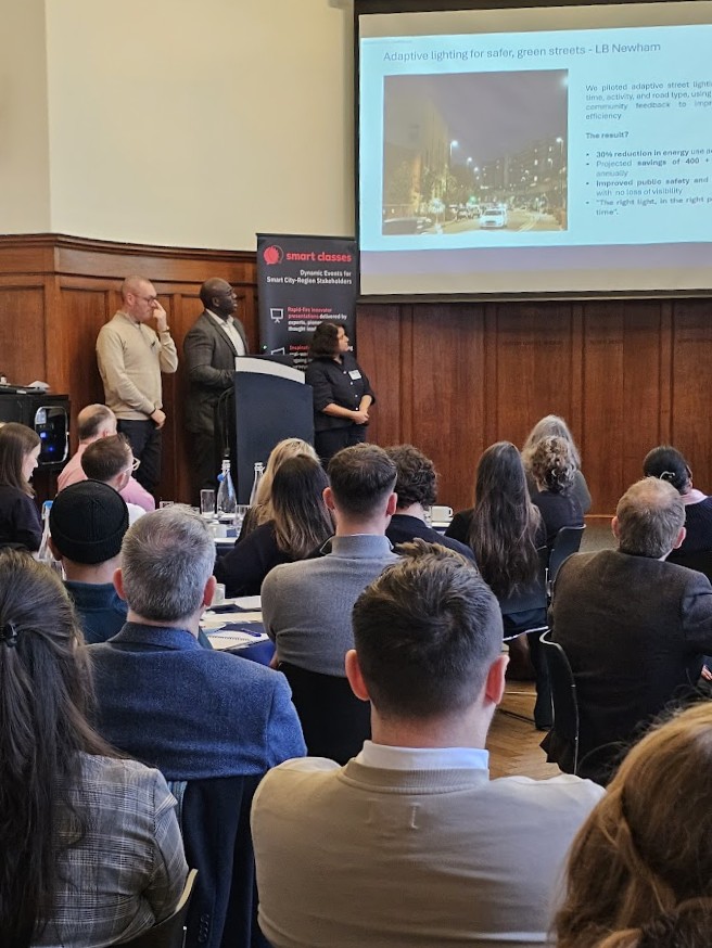
- Adaptive lighting for safer, green streets – LB Newham: Project Centre piloted adaptive street lighting that adjust to time, activity, and road type, using data analysis and community feedback to improve safety and efficiency;
- The result? 30% reduction in energy across trial areas; Projected savings of 400+ tonnes of CO2 annually; Improved public safety and user confidence with no loss of visibility; “The right light, in the right place, at the right time”;
- Using lighting to redefine spaces – LB Harrow: Harrow Council has earmarked the Roxborough underpass for lighting improvements to reduce the fear of crime whilst creating visual interest within this high-footfall thoroughfare; Low-powered, highly efficient LED lighting with smart controls, designed to transform the space during the hours of darkness;
- Sustainable Urban Drainage at Eastcote Road – LB Hillingdon: Before; After – 15 rain gardens; Capacity for back up to 50 cubic meters; Flood resilience up to 30mm of rainfall;
- Brooke Road SuDs – LB Waltham Forest: Early engagement with utilities stakeholders (including Thames Water) and pioneering integration of different SuDS features – Permeable paving; Rain gardens; Attenuation tanks;
- Home Park Road SuDs – LB Merton: Flood resilience; Biodiversity; Permeable paving; Rain gardens; Specially designed Hydrorock Attenuation; Added amenity value – Patong court, benches, trails; Early engagement with stakeholders.
If you meet our regular delegate qualification criteria but were unable to join us The Wellington Hotel, Westminster, for the live in-person event on December 4th, CLICK HERE and complete the short “Download form” (located at the bottom of the post) to receive a unique link enabling free access to the presentation video recordings and slides (including the film footage and slides from Bharati, David and Herbie’s initial presentation).
Those qualifying to receive the rich presentation content from this event include commissioning, procurement, trialling, partnering and policy leads, senior influencers, strategic decision makers, planners, place makers, architects, green space managers, urban designers, communities & neighbourhoods, highways & street scene, transport & mobility and high streets & regeneration professionals from councils and local authorities (city, borough, metropolitan, district, county and combined); people and place partnerships; developers, landowners and creators of privately owned public spaces; prime contractors and city centre management companies; DfT, DEFRA, MHCLG, EA and supporting governmental bodies; transport authorities, highways agencies and public transport operators; civic organisations and community groups; and other key players from the public realm ecosystem with responsibility for managing, maintaining and operating our streets, squares, forecourts, parks, pathways, retail centres, car parks, airports, ports, travel hubs, hospitals, housing estates, campuses, communal gardens and the assets contained within these public or semi-public spaces.