
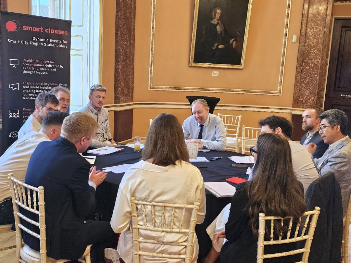
At TRANSPORT Smart Class, North of England 2025, Regional Director Chris Harrison’s presentation on behalf of Project Centre, part of Marston Holdings, explored how local authorities and transport consultants can harness data, digital innovation, and people-centred design to create smarter street corridors that prioritise bus services, improve air quality, and support active, inclusive travel.
He also examined how technology can be integrated into design strategies to enhance road safety, enable digital enforcement for better traffic flow and compliance, and incorporate air quality as a key factor in route planning and mode choice. Following the presentations and Q&As, delegates were able to delve deeper during Chris’s hosted roundtable sessions.
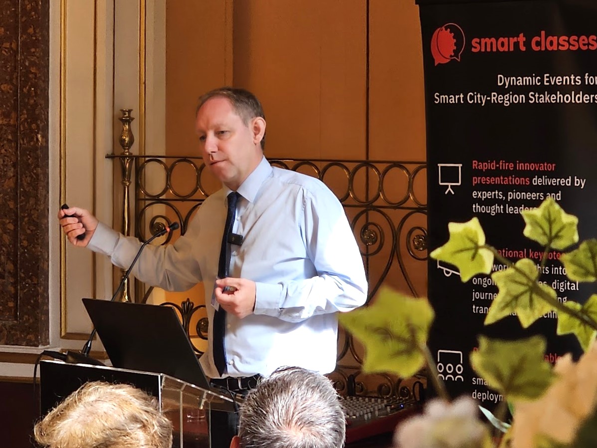
Presentation highlights and notes:
- Introducing Project Centre and the Marston Holdings Group;
- The Kerbside – The kerbside is a public space and one of the authorities’ biggest assets. It is primarily used for parking and often over 85% is parked vehicles;
- Kerbside pressures – Pressures put on your kerbside include: Bus lanes, Cycle lanes, Crossing points, SuDs, Parking – cycling, vehicles, scooters;
- Strategies across the council will benefit or dis-benefit from the choices we make about parking;
- Map base Traffic orders – Traffic Regulation Order (TRO) digitisation; Wokingham Borough Council example;
- Dynamic Kerbside – Kerbside Management Trial of Loading Bays with City of London Corporation, grid, DEFRA and Cross River Partnership;
- Kerbside Management Strategies – Lambeth Council Case Study…
- Rebalancing priorities for Lambeth streets (Kerbside Strategy);
- Lambeth’s kerbside stretches an impressive 579,000 linear metres – that’s the same distance from Lambeth to Edinburgh; It’s 1,158,000m2 and 291 acres, which is the same as 3.5 Brockwell parks or 51,467 London buses lined up;
- Lambeth’s Kerbside in 2022 (% of Lambeth kerbside) – 46% Parking, 24% Double yellow lines, 15% Single yellow lines, 9% Driveways and only 6% Sustainable uses;
- Sustainable uses of the kerbside – SuDs, street trees, Community and business parklets, Cycle lanes, Pedestrian Crossings, Bus lanes and bus stops, Shared Scooter/Bike Bay, Car Club Bay, EV Bay, School Keep Clear, Taxi Bay, Cycle Hangars, Loading & disabled bays;

- Prince Regent Lane Case Study…
- Prince Regent Lane, Newham The Prince Regent Lane/Tollgate Road junction and Prince Regent Lane/Glen Road junction were identified by TfL as a traffic bottleneck; In addition to delivering journey time improvements, Newham was committed to ensuring the scheme simultaneously reduced road danger for all road users; New bus lanes on Prince Regent Lane northbound and southbound, Improved bus stop location and accessibility; Enhanced pedestrian crossings with reduced crossing distances at junctions with safer and more accessible footways; Relocation of parking spaces on Prince Regent Lane and implementation of a new Advanced Stop Line (ASL) to improve visibility and safety for cyclists at junctions;
- Marston Holdings’ transport modelling team used VISSIM modelling to quantify the reduction in bus journey times within the extents of the scheme, with the Route 147 experiencing a 20% reduction in southbound journeys on Prince Regent Lane during the morning peak period;
- Prince Regent Lane – Bus Priority: Highway Design and VISSIM Micro Simulation Modelling mapped (TfL VMAP);
- Model Outputs and Conclusion: Traffic flows – Proposed Design able to cope with the existing traffic demand; Queue Lengths – Reduced on most approaches of the key junctions; General Traffic Journey Times – Reduction in journey times of about 1 – 2 minutes; Bus Journey Times – Improvements in journey times of 170 seconds (2 minutes 50 seconds) for some bus routes;
- Traffic Modelling Zones – Lea Bridge Road East Section VISSIM Results/Predicted Journey Time Changes for Cars and Buses at AM Peak, mapped; Majority of additional journey time due to signalisation of junctions and replacement of roundabout with signal;
- Digital Enforcement – Digital Enforcement can achieve better journey times for public transport; In addition, provides data to enable design and understanding of issues;
- Creating a Safer Environment – Using video analytics, AI, Deep Learning, and Advanced Econometrics, the software facilitates proactive management of safety for transport networks; Over 20 different dashboards to predict and resolve conflicts before they occur;
- Air Quality Monitoring – Air quality sensors, combined with modal data from traffic surveys, provided valuable insights into traffic patterns and environmental impact; Working with Lewisham – this data played a key role in supporting the decision to remove vehicular traffic and pedestrianise Coulgate Street, enhancing the area for pedestrians and improving local air quality;
- Adaptive Lighting – part of the solution?
- PCL supported the London Borough of Newham who are responsible for maintenance and operation of circa 20,000 streetlighting columns, to test the feasibility of adopting an adaptive lighting policy in the borough; A key challenge presented by adaptive lighting is ensuring the right amount of light is still being provided for all;
- Trials, resident surveys, personal safety workshops, Road safety assessments; Population density, number of lighting units, road types and crime statistics were all considered when selecting the trial areas;
- Data collected from the consultation survey and targeted engagement showed that most people did not notice the adaptive lighting trial taking place, suggesting that a borough-wide adaptive lighting policy could work in Newham;
- Newham adopted the Adaptive lighting across the borough with a few excepted areas with monitoring on going.
If you satisfy our regular delegate qualification criteria but were unable to join us at Liverpool Town Hall on July 3rd for the live in-person event, CLICK HERE and complete the short “Download form” (located at the bottom of the post) to receive a unique link enabling free access to the presentation video recordings and slides (including the film footage and slides from Chris’s initial presentation).
Those qualifying to receive the rich presentation content from this event include commissioning, procurement, trialling, partnering and policy leads, senior influencers, strategic decision makers, programme managers and planners from local authorities (e.g. city, borough, metropolitan, district and county councils); public transport operators; regional transport partnerships, sub-regional transport bodies, combined authorities, integrated transport authorities and passenger transport executives; highways authorities and road operators; government and supporting national transport agencies; non-governmental organisations; fleet operators, parking operators, prime contractors etc.


