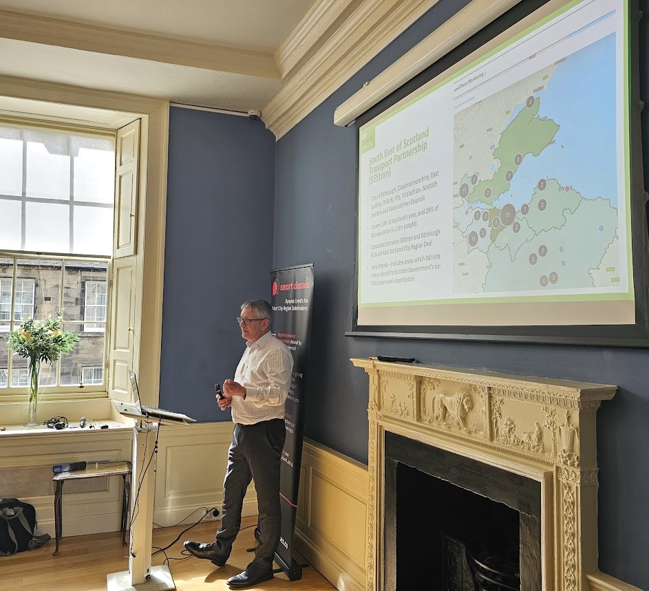
Brian Butler is Partnership Director for the South East of Scotland Transport Partnership and is leading on the implementation of the ‘SEStran 2035 Regional Transport Strategy’ (RTS), which was approved by Ministers in March 2023. The SEStran Regional Transport Partnership consists of eight local authorities in South East Scotland, namely Borders, East Lothian, West Lothian, Midlothian, Edinburgh, Fife, Falkirk, and Clackmannanshire.
With increasing financial and resourcing challenges facing both public and private sector transport organisations, Brian’s keynote at TRANSPORT Smart Class, Scotland 2025 provided a ‘Dummies Guide’ to how and why the use of data and technology will be essential to the effective delivery of key themes from SEStran’s RTS. He applied this logic to priority projects including the Regional Bus Strategy, the People and Place active travel behaviour change programme, and Transport to Healthcare strategy.
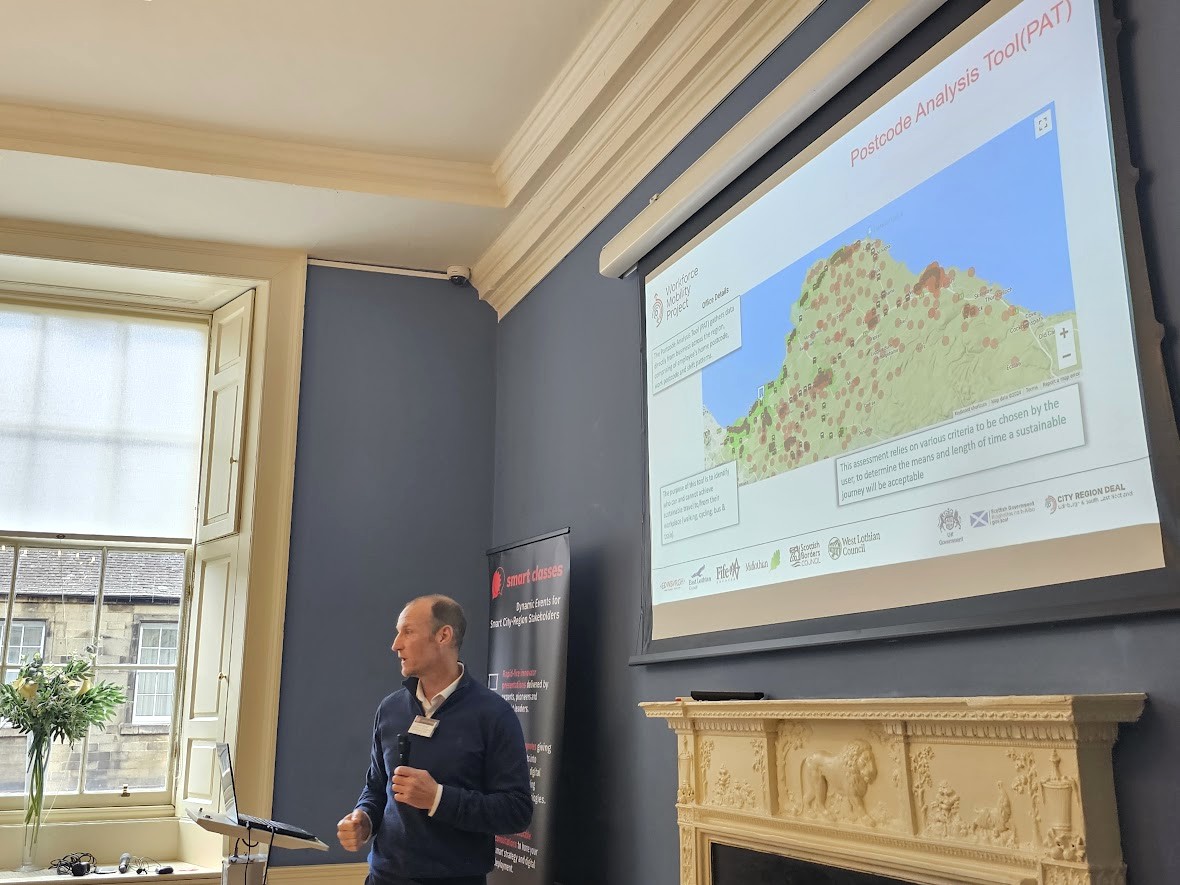
Brian was joined at the podium by Ewan Doyle, who is currently seconded from Scottish Borders Council into the Edinburgh & South East Scotland City Region Deal, to deliver the Workforce Mobility Project. This project, as Ewan explained, aims to work across sectors to improve data, communication, and the effectiveness of local transport to support the ambitions of the IRES programme, the Regional Prosperity Framework and other regional and national strategies.
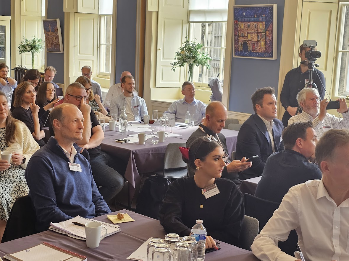
Summary of presentation highlights:
- South East of Scotland Transport Partnership (SEStran) – Covers 10% of Scotland’s area, and 29% of it’s population (c.1.6m people); Concordat between SEStran and Edinburgh & South East Scotland City Region Deal; Includes areas which fall into every one of the Scottish Government’s six-fold urban-rural classification, so very diverse;
- The RTS – Shaping development and place; Delivering safe active travel; Enhancing accessibility of public transport; Transforming the bus service; Enhancing and extending rail services; Reallocating road space; Delivering seamless multi-modal journeys; Decarbonising transport; Facilitating efficient passenger travel; Zero road deaths and serious injuries; Reducing car usage;
- Mononormativity – We have accepted: Deaths and injuries caused by moving vehicles; Deaths and illness caused by pollution; Wider public health impacts; Ruptured communities; Loss of greenspace to roads and car parks; Economic losses due to congestion; Carbon emissions contributing to the climate crisis;
- Technology and Data – Passengers, Operators and Infrastructure, and joining it all together…
- Passengers – We have to deliver seamless, digital-first travel experiences: Open payments; Apps to plan, buy and validate; No infrastructure fare systems; RTPI with on-the-go service updates;
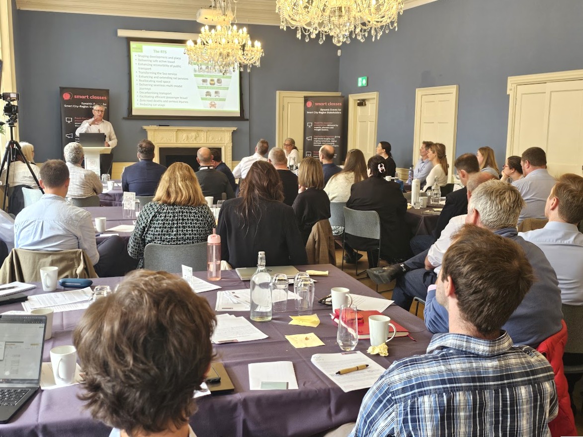
- Operators – Use data to identify where people are actually travelling from and to; Use AI to move from scheduled services to services based on intelligent forecasting; Work with workplaces, schools, hospitals, schools, universities, in fact any trip generator; And then send the customer route and timetable details – This could be applied to all sorts of trip generators; Tickets could be discounted or free, or frequent user bonuses applied;
- Infrastructure – Demand management: Road User Charging; Workforce Parking Levy; Parking Charges; Duty on fuel;
- Key stakeholders are actively supportive of projects; Project messages, communications tools and activities are closely aligned both to outcome objectives and target audience’s needs/aspirations; Interventions should be targeted towards specific audiences; Projects provide cohesive packages of measures which support the same behavioural outcome; Delivery is of high quality; Interventions are focussed on life events that can influence travel choices or that complement new/improved/existing active travel infrastructure or transport services; Projects are of sufficient scale to achieve value; Sufficient time is available for the project to become embedded within its target community; Monitoring and evaluation processes are of appropriate scale and in-built from the outset;
- What is active travel?
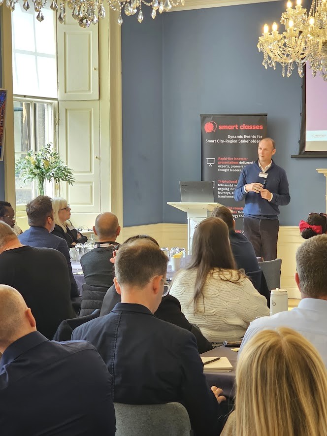
- Smart Data & Change – The Workforce Mobility Project…
- How can we use movement data to influence the future development of our region? Mobile Phone Data; Bus Patronage Data; Employee Postcode Data (Tool Developed by WMP); Business Accessibility Data (Tool Developed by WMP);
- Borders General Hospital 2022 Footfall – Routes, Service Direction and Yearly Return Trip Demand per route;
- Postcode Analysis Tool (PAT) – This tool gathers data directly from business across the region, comprising of employee’s home postcode, work postcode and shift patterns; The purpose of this tool is to identify who can and cannot achieve sustainable travel to/from their workplace (walking, cycling, bus & train); This assessment relies on various criteria to be chosen by the user, to determine the means and length of time a sustainable journey will be acceptable;
- Employees able to access their Employment Destination via walk & Public Transport (800m maximum walk) 0700-0900 Tuesday period Calculated using TRACC;
- Flow map showing the demand across each stage of the bus journey – The dashboard provides the data in a format that allows interrogation; Both formats are a great communication tool;
- Business Accessibility Tool – The web-based version of this tool is under development and it is currently utilized for the project in GIS; The location of a business is entered into the tool; The output displays the sustainable travel catchment area of a selected business – This would be the postcode areas where residents are able to reach a business using sustainable or active travel within defined parameters such as arrival or departure time;
- The Scottish Borders Bus Network Review – Outcomes: New routes designed to cater for ‘Demand’ rather than service key corridors; 20min bus frequency to/from BGH (commence 2025); Direct route from Galashiels to BGH (link with X95 & X62); Bus times aligned with key employers shift patterns across the region; Increased bus frequencies on fixed routes to match demand for DRT in Berwickshire; More evening town services to support employment; New taxi-bus services to remote rural areas to connect to fixed routes (commence 2024, including route between Coldstream and Duns); Services showing an increase in patronage numbers where changes have been implemented;
- East Lothian Council Journey Hub Study: Hub Locations & Size – Patronage Data, Employee postcode demand, Mobile phone data, Public Survey; Coverage Assessment – Accessibility Tool; Outputs – Spatial assessment, Financial cost estimates, Business case, Carbon impact assessment, LDP Influence, Funding Opportunities; Isochrone Coverage – 10 minute walking and cycling coverage; Local hub and Major hub locations on OpenStreetMap;
- Edinburgh Airport Accessibility & Recruitment Assessment – Map showing the travel extent of where people can travel to and from the airport at various flight and shift times; The number in brackets attached to the layer name is the working population contained in the isochrone and the blue colour ramp layer (from DWP) is the number of people claiming Universal Credit searching for work in December 2024;
- Challenge – How can we mainstream some of the tools and analysis?
- Further Information – Email: workforcemobilityproject@scotborders.gov.uk Web: Scotland City Region Deal (esescityregiondeal.org.uk) LinkedIn: (26) Workforce Mobility Project Overview
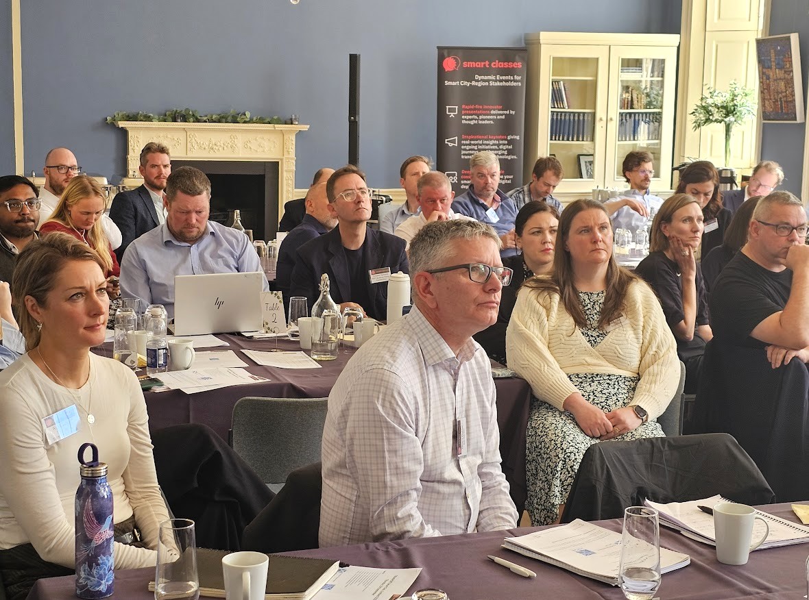
If you meet our regular delegate qualification criteria but were unable to join us Riddle’s Court, Edinburgh, for the live in-person event on September 11th, CLICK HERE and complete the short “Download form” (located at the bottom of the post) to receive a unique link enabling free access to the presentation video recordings and slides (including the film footage and slides from Brian and Ewan’s keynote).
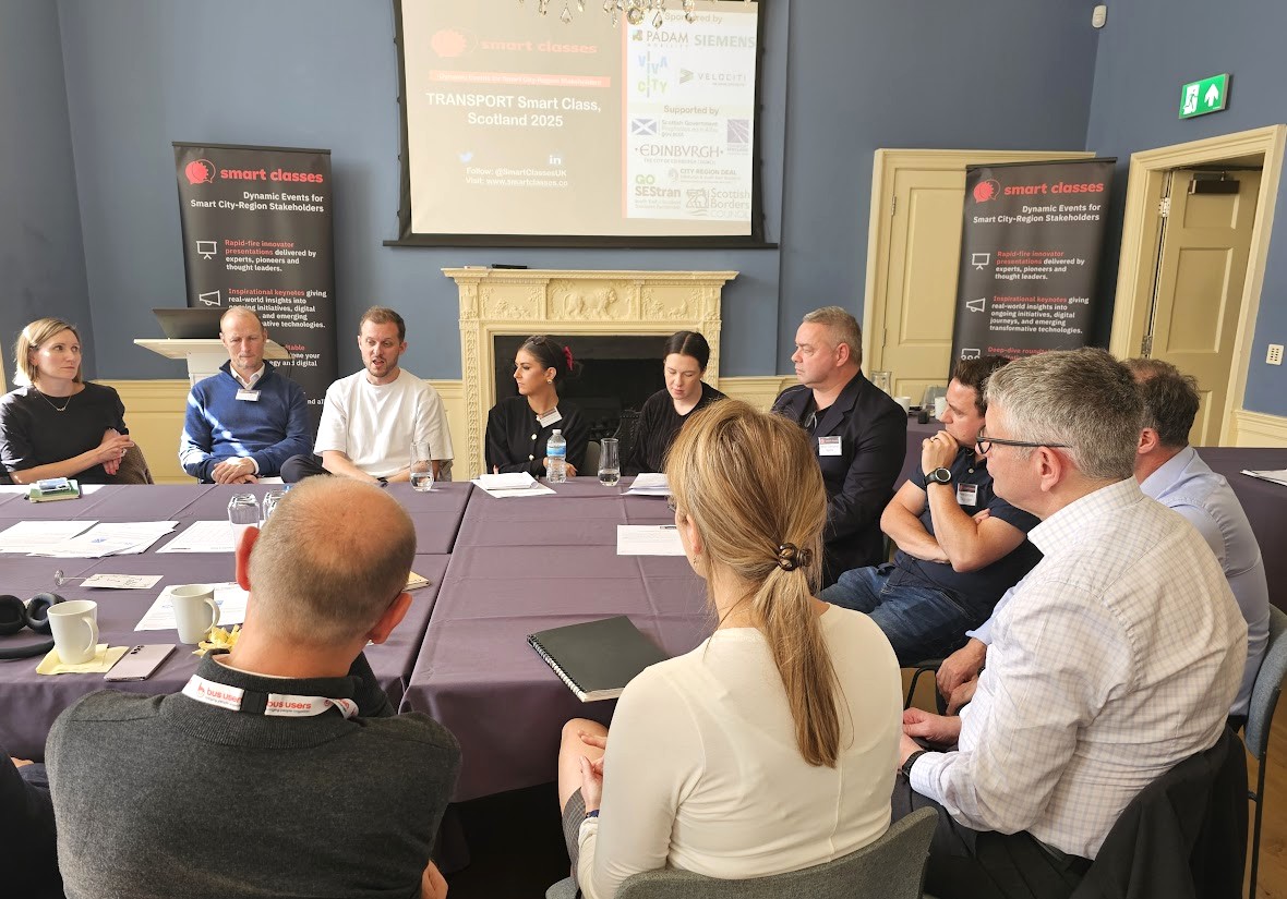
Those qualifying to receive the rich presentation content from this event include commissioning, procurement, trialling, partnering and policy leads, senior influencers, strategic decision makers, programme managers and planners from local authorities (e.g. city, borough, metropolitan, district and county councils); public transport operators; regional transport partnerships, sub-regional transport bodies, combined authorities, integrated transport authorities and passenger transport executives; highways authorities and road operators; government and supporting national transport agencies; non-governmental organisations; fleet operators, parking operators, prime contractors etc.