The transport network is vital for economic and social development, but how we use it has evolved significantly, bringing constant new challenges such as new mobility types, road safety concerns, technological advancements, asset resilience, and rising customer expectations.
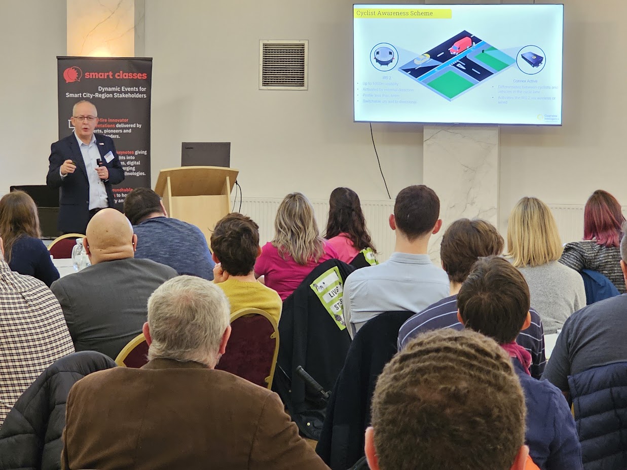
At TRANSPORT Smart Class, Wales & West of England 2024, Ralph Bates (Head of Business Development in England and Wales) and Peter Cattell (Head of Technical Sales) took the podium to explain how, by leveraging cutting-edge technology, Clearview Intelligence is transforming UK roads with innovative traffic data and safety solutions designed to save lives, reduce costs, and protect the environment – helping set a new standard for safer, greener, and smarter transportation across the UK.
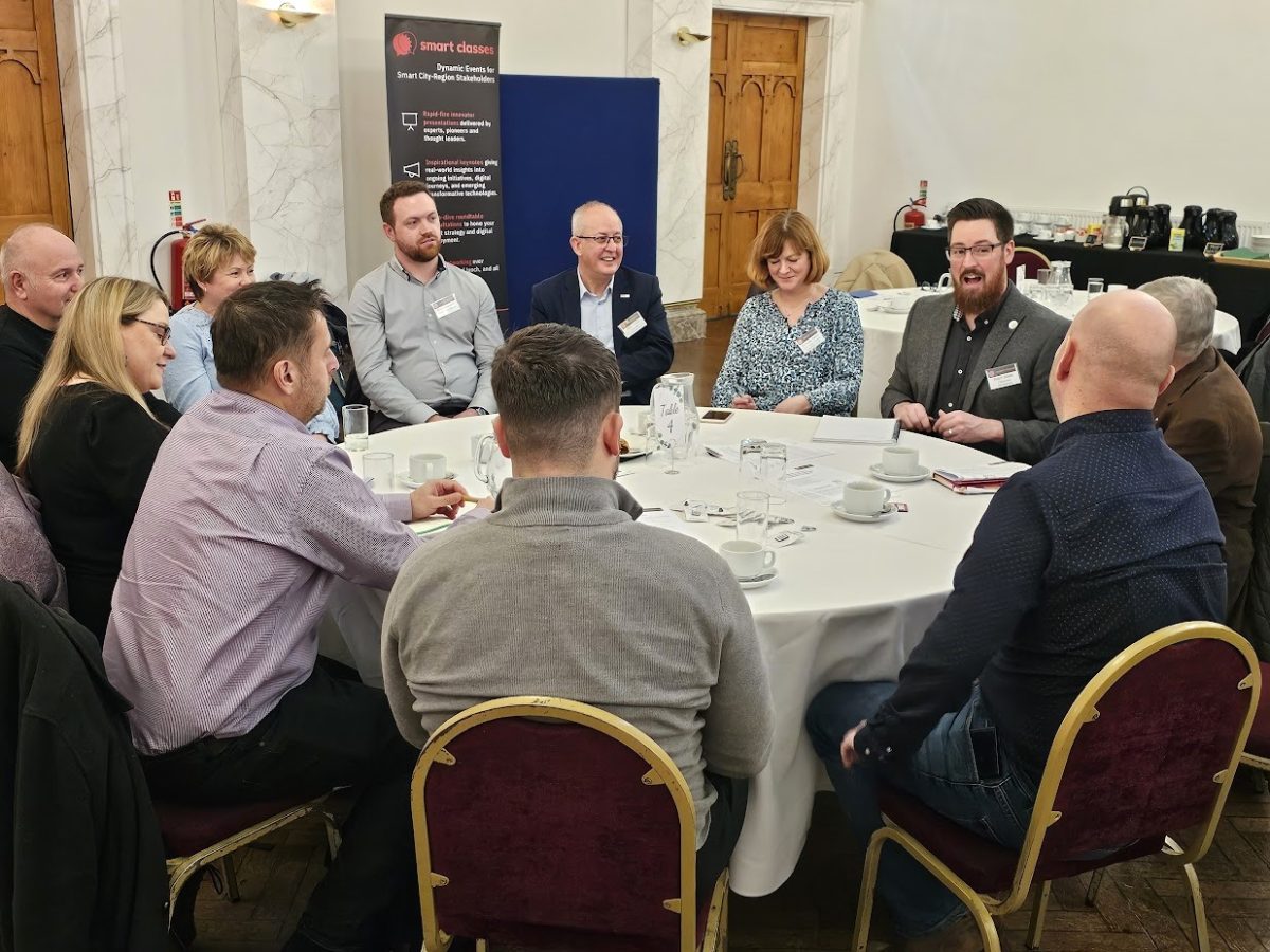
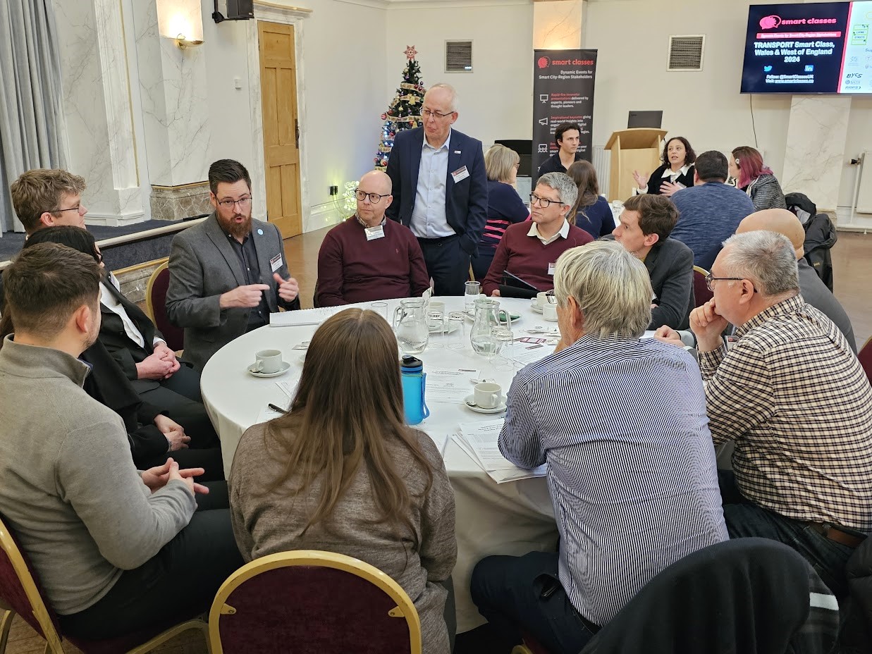
Following their joint presentation and Q&A, Ralph and Pete subsequently hosted deeper dive roundtable sessions with each table of delegates. Clearview colleague Elliott Bosworth added his expert knowledge to these discussions.
Presentation highlights and notes:
- Insight provides a suite of focussed applications in a single smart mobility platform for the collection, management and analysis of data…
- Insight Places – Utilises integrated sensors to provide key data around travel modes and the environment;
- Insight Vision – Provides CCTV and computer vision capabilities for object detection, classification and events;
- Insight Parking – Enables data analysis of parking assets for operators and guidance systems for parking users;
- Insight Journey – Collects crowdsourced data to provide travel times from origin to destination;
- The Insight platform takes in a huge number of data inputs e.g. Active Travel, Vehicle Activated Signs, Radar, CCTV, Weather, Road Condition Monitoring, Environmental, API, ANPR, Journey time, ATC, Street lighting etc;
- A nice simple interface allows us to understand what’s happening at the roadside in all of the various locations; The huge reporting suite allows fine granularity;
- Report Visualisation – Enables understanding of trends and commuting patterns. e.g. Modal split between cyclists, pedestrians and scooter users in Milton Keynes helps us to comprehend the AM and PM peaks, what the modal shift is now for active travel, where we have cycle commuting taking place, where we have pedestrian movements floating throughout the day, what’s happening with e-scooter trials in the area etc;
- ATC Reports – Weekly example;
- Speed Compliance Reporting – Clearview Intelligence have recently integrated some speed compliance tools into Insight…
- Speed Compliance: Road Type – To help understand what’s happening on the road network, the different types of vehicle and how that are behaving e.g. Toolkit developed with Transport Scotland to bring down and reduce speeds of HGV movements on certain roadways, so need to track compliance rather than whether we have speeding issues on these networks – This toolkit assigns different speeds for different vehicle classifications (Cars & Motorcycles, Cars Towing, Goods Vehicles exceeding or not exceeding 7.5 tonnes maximum laden weight) and different types of road to understand if that vehicle is travelling at a compliant speed for that road type;
- Speed Compliance: Site Setup – Assigning information to a location on the database;
- Speed Compliance: Report Filter – Ultimately allows tracking of data, grouping of sites together and reporting of compliance for an entire network rather than just at a single site level;
- Speed Compliance: Report Options – Enables understanding of compliance on a vehicle classification level (Motorbike, Car or Light van, Car of Light van plus Trailer, Rigid heavy van or Minibus, HGV, Bus or Coach) as opposed to have we got a speeding issue, yes or no? What this has unveiled is a huge amount of non-compliance with HGVs, which should be travelling at lower speeds for the vehicle classification type given the longer breaking distance for that type of traffic; Clearview are now running this system for Transport Scotland, for the Traffic Wales trunk road network and for local authority clients; It’s a self serve reporting system and a huge variety of metrics can be accommodated;
- Speed Compliance: Pivot Report – Speed vs. Compliance – A granular demonstration of the levels of violation associated with different vehicle classification types;
- Detect & Act: Safe Systems Approach – To measure we need to detect…
- Connex Modular Hardware Platform – Vehicle detection and classification, Active travel detection and classification, Environmental monitoring, Communication and device control; Can be used for Count and Classify, Parking and Remote Route Safety schemes;
- Route Safety Video – Detecting a vehicle emerging from a turning and a vehicle going the wrong way up a slip road; Demonstrating speed reminder signs displaying different speed reminders for different vehicles;
- It’s not just about motorised traffic…
- Connex Active – Designed for use adjacent to free-flowing cycle and pedestrian paths; Distance, speed, and direction data generate a unique waveform; Uses a different detection technology, Lidar! Using infrared light, Lidars are situated at a low level and pass-through gaps in legs and cycle wheels; Non-invasive dual Lidar technology provides class, count, direction, speed, and distance; 98% pedestrian and bicycle detection; Detection up to 7m from the classifier without the need for a receiver; Classification up to 30mph; Solar, power over ethernet or mains powered; Data integration with Insight but available to third parties;
- Cyclist Awareness Schemes – Cyclist detection can be built into a safety scheme that combines Clearview’s Intelligent Road Studs (IRS2) and Connex Active:
- IRS2 – Up to 1000m visibility; Activated by external detection; Profile less than 4mm; Switchable uni and bi-directional;
- Connex Active – Differentiates between cyclists and vehicles in the cycle lane; Activates the IRS2 via wireless or wired;
- Hull Case Study (The Stoneferry Corridor)…
- IRS2 are installed along the junction lining and are set to flash upon detection of approaching cycles/pedestrian only. The studs flash with an amber colour, to warn motorists of the approaching active travel users;
- The stop line is also delineated with IRS2 for drivers who are approaching the T-junction. When the studs start flashing, this helps drivers understand if there are active travel users approaching, which they may not have visibility of. This has helped cyclists feel more confident using the cycle network through this heavily industrial area;
- Key Benefits – Reduce collisions and congestion; Improved air quality, journey times and safety; Enhanced safety for pedestrians by detecting cyclists and alerting drivers entering and exiting the junction; JTM and VMS combined with Insight Smart Mobility Platform inform drivers and network operators of congested and alternative routes;
- Another form of detection is AI in Computer Vision/Video Analytics – Using cameras (typically mounted on a lighting column) to look at what’s on the road and identifying each object on the road/detecting the multi-modal range (Cars, Vans, Trucks, HGVs, Motorcyclists, Buses & Coaches, Pedestrians, Cyclists, E-Scooters etc) of users…
- Insights Vision – Advanced Count & classification; Bounding boxes highlight detection; Faces, Pedestrians and VRN can be blurred in real time; Data collected and analysed by Insight;
- Wide Viewing Angle – As depicted by Milton Keynes example which shows angle of the Insight Vision Camera covering 4 lanes of traffic + the Redways pedestrian and cycle path;
- East Kilbride Video – Showing detection of vehicle and corresponding snapshots of data which can be used for analysis;
- DfT’s refresh of the Road User Hierarchy…
- The ‘hierarchy of road users’ is a concept that places those road users most at risk in the event of a collision at the top of the hierarchy. The hierarchy does not remove the need for everyone to behave responsibly. The road users most likely to be injured in the event of a collision are pedestrians, cyclists, horse riders and motorcyclists, with children, older adults and disabled people being more at risk. This has introduced some new challenges!
- Rising concerns around floating bus stops and bus bypasses for cyclists – As passengers get off the bus, they will typically head across the cycle path, and if the two types of road users are not being especially vigilant, there is a significant risk of conflict between the two;
- How can levels of safety be improved and risks at these particular conflict zones be mitigated?
- A combination of new Edge based AI systems and intelligent road studs can be used to warn approaching cyclists of potential pedestrian movements within the cycle lane – Clearview’s Insight Vision can help understand what happens when buses arrive, pedestrians leave buses, how they wait for buses (on the island or at the kerbside edge), what happens when cyclists approach this particular area etc; The system can be configured to trigger the IRS2 based on a bus pulling up at the bus stop, or as pedestrians look to step across the cycle lane (“localised triggering”); The programmable logic controller can tackle both of these parameters at the same time if required;
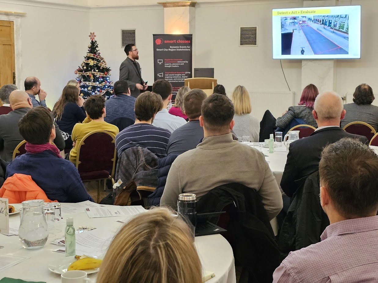
- Detect > Act > Evaluate – Training engine to look at different detection zones and different classifications of target in each detection zone; Programming different types of logic into the system to trigger a mitigating action at site; Collecting all of this data to help understand interactions e.g. Do we have cyclists and pedestrians or pedestrians and vehicles in the same conflict zone? How often is this happening? etc; Real-time stream can be achieved, with pedestrians and number plates blurred to ensure GDPR compliance;
- Snapshot of TfL bus bypass – After detecting the number of times pedestrians do and do not use the small zebra crossing, the extent of near-miss incidents between pedestrians and cyclists, and learning that many cyclists are not even using the bus bypass…part of the end solution will likely be to detect cyclists and warn them that they need to be cautious as they approach this zone and that those boarding or disembarking the bus have priority;
- Completing the cycle! – Correct mentality is to have the detect and act technology + the data behind this in order to evaluate;
- The Oxford Cycleway – Won Excellence in Cycling and Walking award at the 2018 National Transport Awards;
- Summary of Clearview Intelligence expertise: Environmental – Air quality monitoring; Traffic – Traffic flow monitoring; Hazards – Route Safety Schemes; Active Travel – Pedestrian and cyclist counter; Delineation – Active Road Studs; Parking – Carpark monitoring and guidance
If you satisfy our regular delegate qualification criteria but were unable to join us in Cardiff on December 5th for the live in-person event at Cardiff Masonic Hall, CLICK HERE and complete the short “Download form” (located at the bottom of the post) to receive a unique link enabling free access to the presentation video recordings and slides (including the film footage and slides from Ralph and Pete’s initial presentation).
Those qualifying to receive the rich presentation content from this event include commissioning, procurement, trialling, partnering and policy leads, senior influencers, strategic decision makers, programme managers and planners from local authorities (e.g. city, borough, metropolitan, district and county councils); public transport operators; regional transport partnerships, sub-regional transport bodies, combined authorities, integrated transport authorities and passenger transport executives; highways authorities and road operators; government and supporting national transport agencies; non-governmental organisations; fleet operators, parking operators, prime contractors etc.