
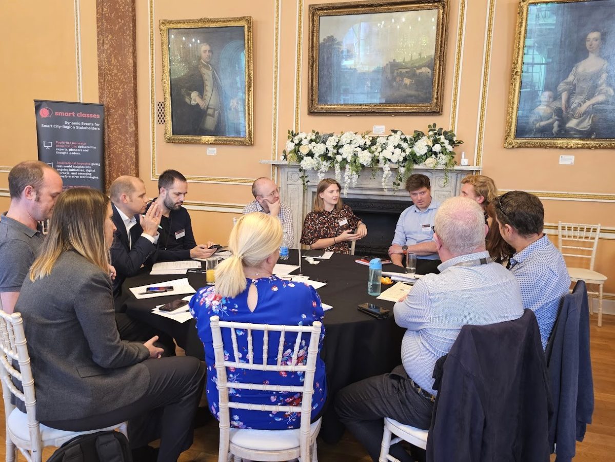
Sustrans have been involved in initiatives which marry school-based travel behaviour change with urban design and public realm improvements.
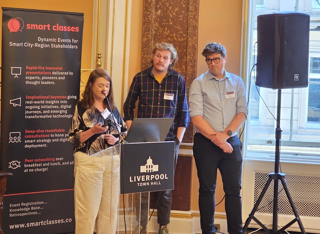
Jonah Morris (Growth and Partnerships Manager – England North), Alix Gunn (Principal Urban Designer) and Carol Latham (Senior Project Manager in the Connected Neighbourhoods Directorate) teamed up at TRANSPORT Smart Class, North of England 2025 to talk us through Sustrans’ new strategy, walking and cycling indexes, key messages and school neighbourhoods approach. Featuring pioneering projects from Merseyside, their presentation demonstrated how small-scale interventions can help residents move around a neighbourhood whilst delivering safe journeys to school.
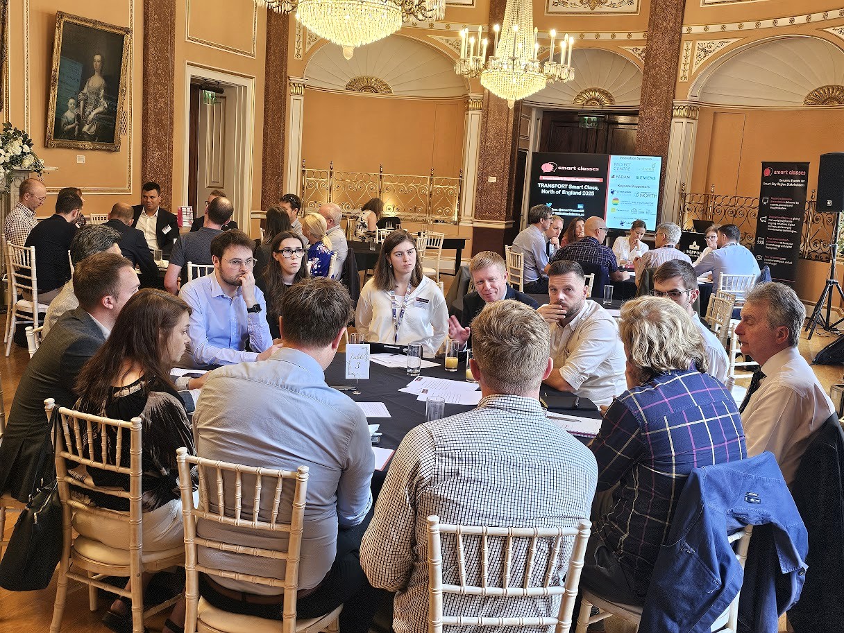
Delegates benefited from further knowledge sharing during Sustrans’ hosted roundtable sessions.
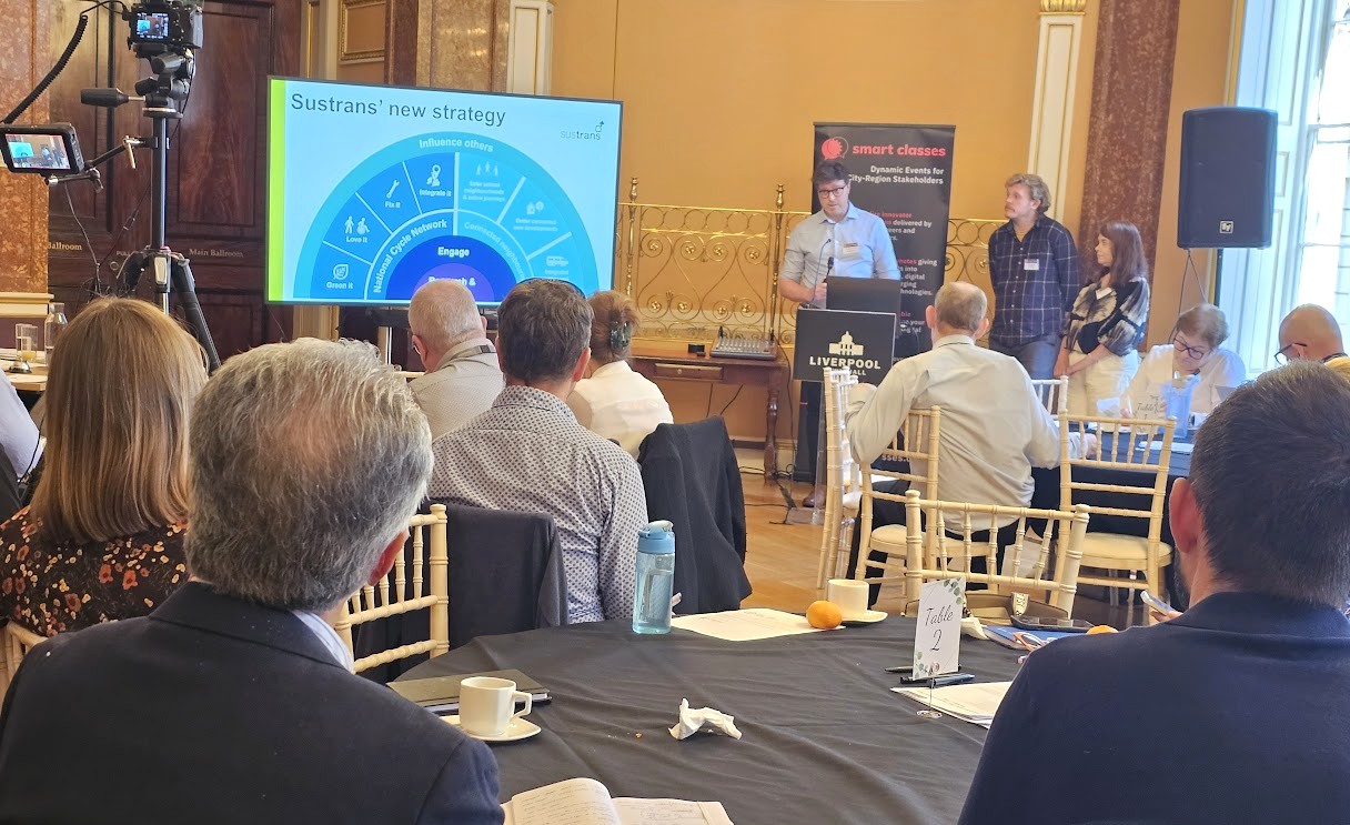
Presentation highlights and notes:
- Sustrans’ new strategy…
- Strategic priorities – Main priority will be the National Cycle Network, with three additional “connected neighbourhoods” priorities: safer school neighbourhoods and active journeys, better connected new developments, and integrated active and public transport;
- What problem are Sustrans trying to solve?
- Their strategy seeks to address issues with transport and communities: Lack of choice – most people want to travel sustainably, but lack of accessible, safe, and affordable options mean they feel locked in to owning a car; Disconnection – the way we move or are forced to move severs communities, harming our health and the environment; Inequity – the poorest and most vulnerable are most affected;
- National Cycle Network – Ultimate ambition: a quality Network as the backbone of an integrated transport system, seamlessly connecting people to the places they want to reach;
- Connected neighbourhoods – Sustrans have three additional strategic priorities beyond their work on the Network. These are: 1) Safer school neighbourhoods and active journeys – Sustrans will make school neighbourhoods safer and encourage children and young people to walk, wheel or cycle to school. Ultimate ambition is to foster lifelong habits of healthy, sustainable, and independent mobility 2) Better connected new developments – Sustrans will better connect walking, wheeling, cycling and public transport to housing growth and planning. Ultimate ambition is to unlock active travel in new developments and create active and sustainable new communities 3) Integrated active and public transport – Sustrans will better connect walking, wheeling and cycling with bus, coach and rail interchanges. Ultimate ambition is to contribute towards a transport system where active travel and public transport are seamlessly integrated, enabling multi-modal journeys;
- What is the Walking and Cycling Index?
- The biggest assessment of walking, wheeling and cycling in urban areas across the UK and Ireland. Reports are published every two years;
- Over 25,000 people contributed their views and shared their experiences in 2023. The 2023 report (published in 2024 year using 2023 data) covered eight Scottish cities and towns, eight English urban areas, Belfast and Cardiff, and for the first time five areas within the Irish Republic;
- The areas in the Irish Republic are funded by the National Transport Authority (the equivalent of DfT), in Scotland by Transport
Scotland and in England by the Freshfield Foundation and the cities/areas themselves; - Within the North, the Index already covers Greater Manchester CA and Liverpool City Region and the newly expanded Tyneside
footprint is going to represent the NECA footprint; - Tower Hamlets have unfortunately left the programme this year, due to funding constraints, but have been replaced by Leicester
joining the programme; - Children’s Index – In fallow years in between report launches, Sustrans often run bespoke reports based on data gleaned from the Index. They have previously published reports around the revitalisation of high streets, a report addressing women’s safety and the data from the Index formed a large amount of the research into the Disabled Citizen’s Inquiry into disabled people’s representation in transport decision making. In early 2025, Sustrans released a bespoke Children’s Index, using a new UK-wide survey of children aged 6-15, but linked with Index data – Giving a greater voice to children, produced in two reports (UK and Scotland), containing parent/carer data from the UK data set, and storytelling and case studies;
- Key messages…
- There is a significant gender gap for children cycling – Only 17% of girls cycle five or more times weekly, compared to 28% of boys; Over half of children (51%) want to cycle more, but less than half (48%) of children cycle at least once a week; 81% of children want more traffic-free paths and quiet routes for walking and cycling, and 78% support more cycle paths along roads physically separated from
cars; 66% of girls think their local area is a good place to cycle, compared to 72% of boys; 8% of girls see themselves as someone who often cycles, compared to 17% of boys; - There are many practical steps we can take to help children walk or wheel more: We need to ensure many of the things children need are found near to where they live – 74% of children would find it useful if their school was closer to their home and 79% of children would find it useful if things like parks, shops and playgrounds were closer to their home; Children need pavements clear from obstructions and convenient crossing points – 72% of children would find it useful if there were fewer cars parked on the pavement and 83% of children would find it useful if there were more road crossings; We need to improve road safety – 72% of children would find it useful if there were slower speed limits for cars and 75% would find it useful if there were fewer cars on our streets;
- Focus on schools, focus on walking…
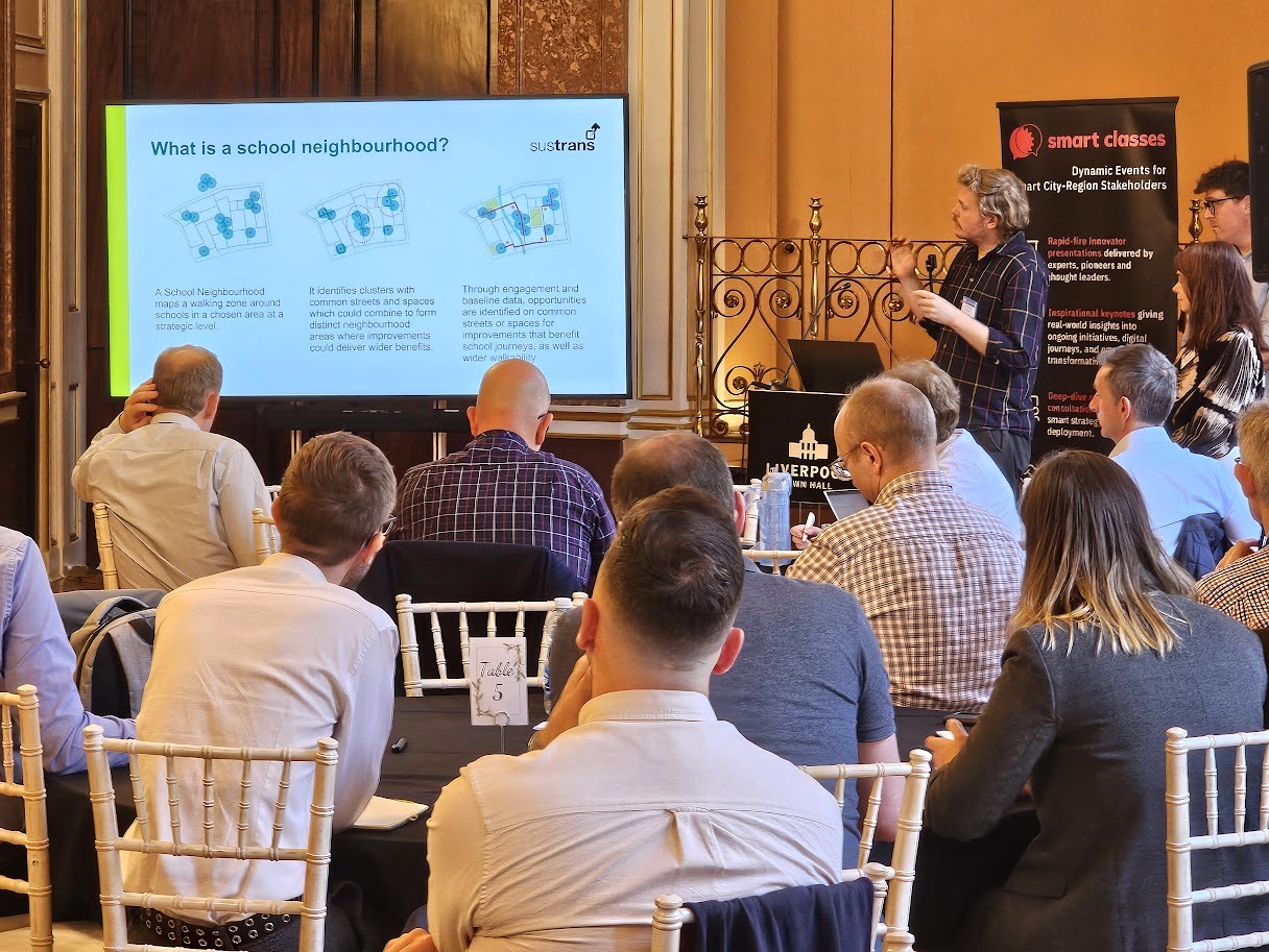
- What is a school neighbourhood?
- A School Neighbourhood maps a walking zone around schools in a chosen area at a strategic level. It identifies clusters with common streets and spaces which could combine to form distinct neighbourhood areas where improvements could deliver wider benefits. Through engagement and baseline data, opportunities are identified on common streets or spaces for improvements that benefit school journeys, as well as wider walkability;
- A school neighbourhood project has two levels of focus: 1) Outside the school gates, managing the impact of traffic and making the arrival at school a safer, more pleasant place for young people and their carers 2) The school journey and traveling around the wider neighbourhood, looking at routes, junctions, crossings, and access to parks and local facilities;
- Why school neighbourhoods?
- A School Neighbourhood project uses the school journey as an entry point for neighbourhood-wide walkability improvements: Young people are the primary stakeholder – Gives a voice to vulnerable road users who have limited independence or influence over their own travel choices (Future users!); Schools are a ready-made community – Young people, professionals, parents and carers, plus geographic neighbours and other stakeholders, who can all contribute to the project; Improving school journeys benefits the whole community – Engaging with key community groups is helpful to get a different perspective on key challenges and opportunities;
- School neighbourhood approach: Considering District wide, School neighbourhood and Targeted location – school street; Useful, safe, comfortable, interesting and complementing existing initiatives (e.g. a future Green Bus Corridor); Holistic approach to neighbourhood-wide improvements – Looks in finer detail at journeys across a neighbourhood and the impact this has on walking; Focusing on walking to build a pipeline of active travel projects that are deliverable, locally relevant and impactful – Taking into account short-, medium- and long-term opportunities, including ‘quick win’ actions;
- Starting with walking and wheeling: Improving walking is relatable and can deliver wider benefits – Almost everyone walks or wheels, whether to access local shops or services, public transport, employment, education or leisure. Walking improvements can also benefit local cycling; Start slow and build steadily – Improvements to make walking easier can be small changes (e.g. dropped kerbs or lighting upgrades) ranging up to larger schemes (e.g. full street/junction redesigns or neighbourhood-wide schemes);
- Reflecting school and community issues and priorities – Such as those in the North Park School Neighbourhood, for example. Another key takeaway is that children want to be able to use the services within their neighbourhoods. These are things we all want to
see, but the ability for children to access the things they needs within their own neighbourhood is important to them;
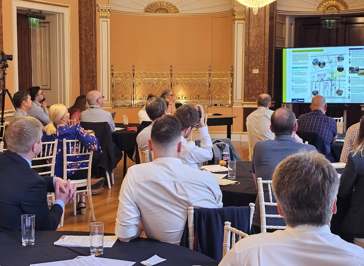
- Working in partnership with Local Authorities – Focus areas & project longlisting; Shortlist of deliverable priorities – Case example of Knowsley Road and Thomas Gray Focus Area;
- North Park School Neighbourhood Case Study: A child centred approach to behaviour change and urban design…
- Hands Up Survey from King’s Lander Primary Academy – How do pupils usually travel to school? How would pupils most like to travel to school? Walk or use a wheelchair/mobility aid, Cycle, Scooter/skate, Park and Stride, Car or van (including taxi or car share), Bus (including school and public bus), or Train/other;
- Journey mapping – Finding out what children like and don’t like about their school journey: The most popular ideas that local pupils would like to see more of are 1) Seating 2) Greenery 3) Artwork 4) Lighting 5) Speed limit reduction/parking restrictions (joint 5th);
- Big Street Survey – Exploring issues around school neighbourhood: Problems identified in their ‘Big Street Survey Manifestos’ by the pupils at All Saints Catholic Primary School, Thomas Gray Primary School, King’s Lander Primary Academy and St Elizabeth’s Catholic Primary School (ranging from poor air quality, dog muck, litter, graffiti and noise, to limited lighting and greenery, pavement parking, accessibility issues, and too many cars outside schools at drop-off and pick-up times); Solutions suggested by the pupils (including their requests to Sefton Council);
- Design ideas – Joining Sustrans workshops to help improve the area around schools; Junior Urban Designer awards;
- King’s Lander and St Elizabeth’s Focus Area – By working with local pupils, speaking with school communities and local groups in the area, Webster Street, Pennington Road and the streets surrounding King’s Lander Primary Academy and St Elizabeth’s Catholic Primary School have been identified as a focus area for improvements to make walking, wheeling and cycling safer; Eight potential schemes based on insights and ideas from local people.
If you satisfy our regular delegate qualification criteria but were unable to join us at Liverpool Town Hall on July 3rd for the live in-person event, CLICK HERE and complete the short “Download form” (located at the bottom of the post) to receive a unique link enabling free access to the presentation video recordings and slides (including the film footage and slides from Jonah, Alix and Carol’s initial presentation).
Those qualifying to receive the rich presentation content from this event include commissioning, procurement, trialling, partnering and policy leads, senior influencers, strategic decision makers, programme managers and planners from local authorities (e.g. city, borough, metropolitan, district and county councils); public transport operators; regional transport partnerships, sub-regional transport bodies, combined authorities, integrated transport authorities and passenger transport executives; highways authorities and road operators; government and supporting national transport agencies; non-governmental organisations; fleet operators, parking operators, prime contractors etc.


